
UAS LiDAR Transmission Line River Crossing
CEC was tasked with acquiring aerial LiDAR data for a section of 138kV transmission line where CEC’s Transmission Department was designing a new long, overhead crossing spanning the Canadian River.
The long River Crossing allowed CEC to leverage its LiDAR-equipped UAS platform to acquire the needed 3D laser scan data. Utilizing a rotorcraft UAS, the data was acquired “low and slow” in order to capture a high point density. CEC’s flight team planned and performed the flight safely and efficiently with a total time on site at less than an hour.
The acquired data was post-processed and classified. The 3D laser scan data was used to generate a highly detailed topographic model in PLS-CADD where CEC’s Transmission Department designed the new crossing and modeled line sag.
Location
Norman, Oklahoma
Services
Land Survey, Power Transmission Design, Remote Sensing
Contact for More Information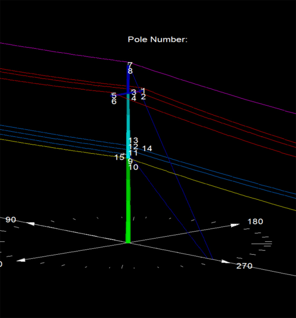
Pole Loading Analysis in Texas
Our team performed Pole Loading Analysis on 1200 Xcel Energy poles in Texas.
More Details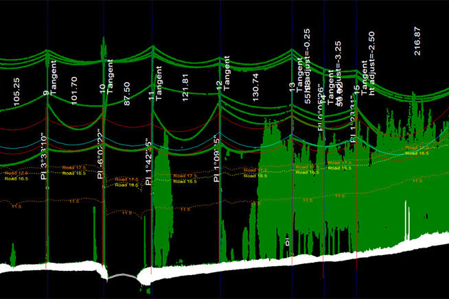
Fiber Analysis in Oklahoma
This project included physical in-field height measurements of all existing conductors and telecommunication lines, as well as LiDAR scanning.
More Details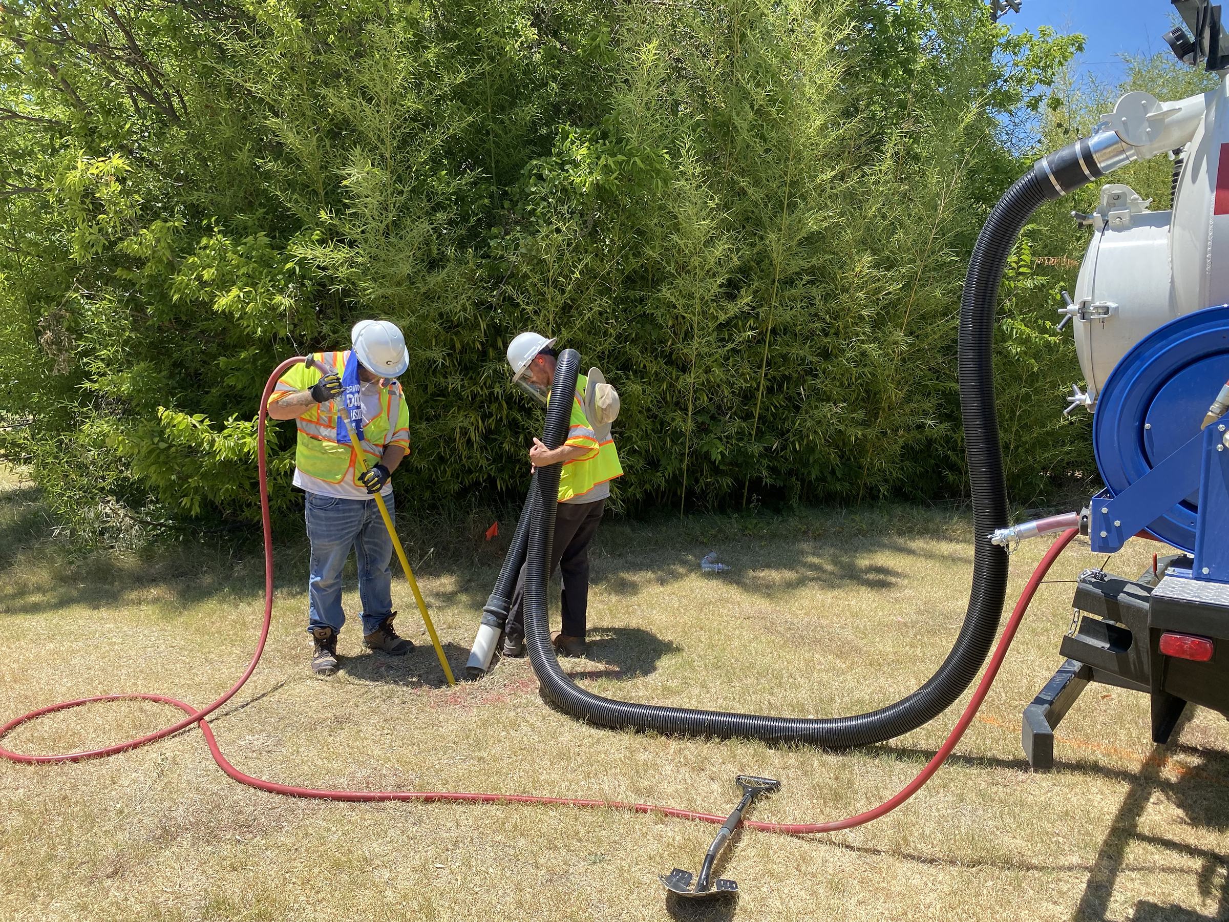
City Of Richardson 30-Inch Waterline
CEC provided Quality Level B Designating and Quality Level A Test Holes for the City of Richardson.
More Details